

The Power of Your Corporate Profile
April 26, 2024
Digital Surface Model (DSM)
April 26, 2024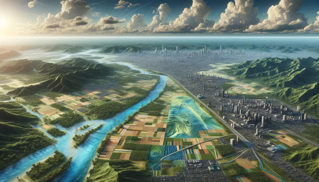
Digital Terrain Models (DTM) are a crucial part of various fields, including geographic information systems (GIS), environmental studies, urban planning, and civil engineering. In this comprehensive guide, we will dive into the world of DTM, exploring its definition, importance, creation process, applications, as well as the challenges and limitations associated with it.
Understanding Digital Terrain Models
Definition and Importance of DTM
Put simply, a Digital Terrain Model (DTM) is a digital representation of the Earth’s surface, including its topography and elevations. This model provides valuable information about the shape, height, and slope of the land, which is vital for a wide range of applications.
DTMs are essential in various industries, such as urban planning, engineering, and natural resource management. By accurately representing the terrain, DTM enables professionals to make informed decisions, simulate scenarios, and effectively plan and design projects.
Components of a DTM
A DTM consists of three main components:
- Point Data: These are the individual data points that represent the elevation of the terrain. They can be obtained using various techniques like LiDAR (Light Detection and Ranging) or photogrammetry.
- Breaklines: These are specific lines or features that are manually added to the DTM to represent significant changes in the terrain, such as ridges or valleys.
- TIN (Triangulated Irregular Network): The TIN is a network of triangles connecting the point data and breaklines. It helps create a continuous three-dimensional representation of the terrain.
Point data, the first component of a DTM, is collected using advanced technologies such as LiDAR. LiDAR involves emitting laser pulses from an aircraft or ground-based system and measuring the time it takes for the pulses to return after hitting the Earth’s surface. By analyzing the return time and intensity of the laser pulses, precise elevation data can be obtained. This data is then used to create a detailed representation of the terrain.
Breaklines, the second component of a DTM, play a crucial role in accurately representing the terrain. These lines are manually added to the DTM to indicate abrupt changes in the land, such as cliffs, ditches, or other significant features. By including breaklines, the DTM can capture the intricate details of the terrain, providing a more realistic representation.
The TIN, the final component of a DTM, is a mathematical model that connects the point data and breaklines. It creates a mesh of triangles that accurately represents the terrain’s surface. Each triangle in the TIN is defined by three points, forming a continuous and seamless representation of the land. This triangulated network allows for precise calculations of slope, aspect, and other terrain characteristics.
Different Types of DTM
There are several types of DTM, each suited for different purposes:
- Terrain DTM: This type of DTM represents the bare earth surface, excluding any vegetation, buildings, or other objects present on the terrain. It provides a baseline representation of the natural topography, allowing professionals to analyze the land’s natural features and characteristics.
- Feature DTM: Feature DTMs include additional elements such as buildings, roads, and vegetation. These models provide a more detailed representation of the terrain, including man-made structures. Feature DTMs are commonly used in urban planning and architectural design to assess the impact of proposed structures on the existing landscape.
- Hybrid DTM: A hybrid DTM combines both the terrain and feature components. It offers a comprehensive representation of the terrain and any features of interest. This type of DTM is particularly useful in projects that require a detailed understanding of both the natural and man-made aspects of the terrain, such as large-scale infrastructure development or environmental impact assessments.
The Creation Process of Digital Terrain Models
Gathering Terrain Data
Creating an accurate Digital Terrain Model (DTM) requires collecting reliable terrain data. This crucial step ensures that the resulting model reflects the true characteristics of the terrain. Various methods are used for this purpose, each with its own strengths and applications:
- LiDAR Surveys: LiDAR surveys utilize advanced laser technology to measure the distance between the sensor and the Earth’s surface. This data is then used to generate highly accurate elevation information. LiDAR surveys are particularly effective in capturing detailed terrain features, such as vegetation and buildings, making them a popular choice for urban planning and environmental assessments.
- Stereophotogrammetry: Stereophotogrammetry involves using overlapping aerial photographs to create a three-dimensional model of the terrain. By analyzing the parallax effect between the images, the elevation of different points can be determined. This method is often employed in large-scale mapping projects, as it allows for the creation of high-resolution DTMs covering vast areas.
- Topographic Maps: Topographic maps provide valuable elevation data and can serve as a reference for creating a DTM. These maps, created through extensive ground surveys and remote sensing techniques, offer a comprehensive overview of the terrain’s features. However, it is important to note that while topographic maps are a valuable resource, they may not provide the same level of accuracy as LiDAR or photogrammetry.
Data Processing and Analysis
Once the terrain data is collected, it undergoes a series of processing and analysis steps to prepare it for DTM generation. This stage is crucial in ensuring the accuracy and reliability of the final model. The data is subjected to various techniques, including:
- Noise and Error Removal: The collected data may contain noise and errors that can affect the quality of the DTM. Through advanced algorithms and filtering techniques, these unwanted elements are identified and removed, ensuring a clean dataset for further analysis.
- Point Cloud Classification: Point clouds, which represent the individual data points collected during the survey, are classified into different categories based on their characteristics. This classification enables the identification of terrain features such as buildings, vegetation, and water bodies, allowing for a more accurate representation of the terrain in the DTM.
- Data Organization: To facilitate efficient analysis and modeling, the terrain data is organized into a structured format. This involves creating a data hierarchy, where different levels of detail are defined, allowing for the representation of the terrain at various scales.
DTM Generation Techniques
There are various techniques used to generate a DTM, each with its own advantages and suitability for different applications:
- Triangulated Irregular Network (TIN): TIN is a commonly used technique that connects the point data to form a network of triangles. These triangles create a surface that approximates the terrain elevations. TIN models are particularly useful in representing terrains with irregular shapes and varying slopes, making them valuable in geological studies and landform analysis.
- Grid-based Methods: Grid-based methods divide the terrain into a grid and assign elevation values to each grid cell. This approach is often used for large-scale DTM generation, as it allows for efficient data storage and processing. Grid-based DTMs are commonly employed in applications such as flood modeling, where a high level of detail is required over large areas.
- Interpolation Techniques: Interpolation techniques, such as Kriging or inverse distance weighting, estimate elevation values based on nearby data points. These methods are particularly useful when dealing with sparse or irregularly distributed data. Interpolation-based DTMs are widely used in applications such as terrain visualization and simulation, where a smooth and continuous representation of the terrain is essential.
By employing these techniques and methodologies, the creation of Digital Terrain Models has become an essential tool in various fields, including urban planning, environmental management, and natural resource exploration. The accurate representation of terrain elevations provided by DTMs enables informed decision-making and detailed analysis, contributing to the advancement of numerous disciplines.
Applications of Digital Terrain Models
Use in Geographic Information Systems (GIS)
In GIS, DTM is a fundamental component that helps analyze and visualize spatial data. It enables accurate calculations of slope, aspect, and drainage patterns. DTMs also play a crucial role in terrain analysis, land cover classification, and flood modeling.
Role in Environmental Studies
In the field of environmental studies, DTMs are used to analyze terrain characteristics and their impact on ecosystems. These models aid in understanding water flow patterns, erosion risks, and habitat suitability modeling. DTM assists in assessing the effects of climate change and planning conservation measures.
DTM in Urban Planning and Civil Engineering
DTMs are invaluable tools in urban planning and civil engineering projects. By accurately representing the terrain, DTM helps identify suitable sites for infrastructure projects, plan road networks, and analyze the impact of proposed developments on the surrounding area. These models facilitate the optimization of drainage systems, slope stability analysis, and waste management planning.
Challenges and Limitations of DTM
Data Accuracy and Resolution Issues
The accuracy and resolution of the terrain data directly affect the quality of the generated DTM. Low-quality or inaccurate data can lead to errors in terrain representation, affecting the reliability of subsequent analyses and decision-making processes. Ensuring high-quality data acquisition and processing is essential to overcome these challenges.
Computational Challenges
DTM generation can be computationally intensive, especially when dealing with large datasets. Processing massive point clouds and generating a high-resolution DTM requires powerful hardware and efficient algorithms. Overcoming computational challenges is crucial for timely delivery of DTM outputs.
Limitations in Representing Complex Terrains
DTM techniques may struggle to accurately represent complex terrains with intricate features such as caves or overhangs. These models primarily rely on elevation data obtained from above-ground measurements, making it challenging to capture below-ground topography accurately. Improving techniques to handle complex terrains remains a focus of ongoing research.
In conclusion, Digital Terrain Models (DTM) are powerful tools that provide crucial insights into the shape and characteristics of the Earth’s surface. They find wide-ranging applications in diverse fields, driving decision-making processes and facilitating the planning and design of various projects. While DTM creation and utilization come with their fair share of challenges, advancements in technology and research continue to improve their accuracy and applicability. Understanding DTM and its applications can empower professionals across industries to harness the full potential of these models for better decision-making and analysis.